 AI Digest Pending…

I. Agriculture Sector
Precision pesticide spraying, remote sensing monitoring of crop growth, farmland LiDAR mapping, variable rate fertilization, rice direct seeding, infrared pest early warning, smart irrigation decision-making, flood/drought damage assessment, short-distance agricultural product transport, livestock positioning & health monitoring in pastures.
II. Logistics & Transportation
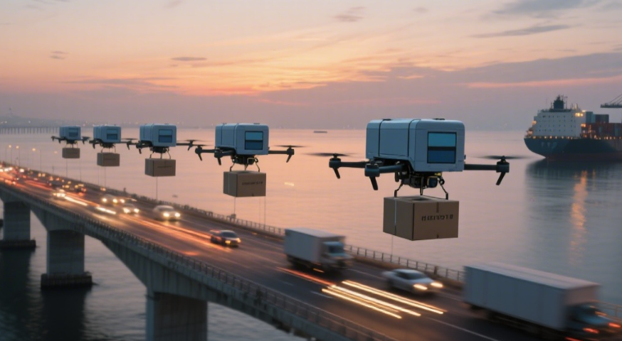
Last-mile delivery to remote villages, emergency medical supplies (blood/drugs) transport, urban low-altitude food delivery, automated warehouse inventory checks, vaccine cold chain transport, inter-island cross-sea replenishment, factory component transfer, "Double Eleven" e-commerce parcel diversion, disaster relief material airdrops, mountain postal letter delivery.
III. Construction & Infrastructure
Bridge surface crack inspection, daily construction progress aerial comparison, BIM 3D modeling, steel weld AI recognition, chimney/pipe inspection without climbing, smart safety helmet detection, earthwork volume calculation, non-contact heritage building mapping, tunnel quality monitoring, landslide/ground settlement warning.
IV. Environmental Protection
Mobile PM2.5/ozone monitoring, river/lake pollution sampling & tracing, forest fire infrared early warning, endangered species GPS+imaging tracking, illegal mining night patrols, marine plastic debris collection, wetland biodiversity assessment, glacier retreat aerial comparison, illegal discharge video evidence, desertification reseeding.
V. Energy & Power
500kV transmission line autonomous inspection, PV panel hotspot detection, wind turbine blade/bolt inspection, substation temperature anomaly warning, pipeline leakage patrol, nuclear radiation remote sampling, mining slope monitoring, 3D grid digital twin modeling, emergency temporary wiring, offshore rig equipment checks.
VI. Public Safety & Emergency
Border patrol, crowd density warning at concerts, thermal missing person search, traffic accident 3D reconstruction, terrorist heat detection, fire escape path planning, hazardous gas diffusion modeling, urban night patrol, prison perimeter intrusion detection, anti-poaching patrols in reserves.
VII. Surveying & Geographic Information
1:500 high-precision mapping, urban renewal demolition measurement, rural land boundary survey, archaeological ground radar scanning, mineral prospecting, mountain railway/road routing, river flow/bathymetry mapping, forest LiDAR inventory, coral reef/shallow sea mapping, smart city digital twin updates.
VIII. Film & Media
Cinematic aerial shots, sports multi-angle live streaming, breaking news coverage, aerial advertising, nature documentaries, wedding dynamic filming, VR 360° imaging, scenic area promotional videos, drone light shows, archaeological panoramic records.
IX. Research & Education
Atmospheric gradient sampling, polar glacier/aurora observation, volcanic gas monitoring, school drone programming, precision agriculture courses, bird migration satellite+drone tracking, whale behavior research, geological teaching simulations, typhoon weather ballooning, biomimetic wing mechanism experiments.
X. Other Innovative Applications
Self-replenishing parcel lockers, rapid lifebuoy delivery, temporary communication relays, aerial advertising, sterile mosquito release for control, orchard pollination assistance, ski avalanche warning, golf course turf inspection, remote lighthouse maintenance, extraterrestrial terrain sampling.
